Showing posts with label Big Creek. Show all posts

Friday, January 3, 2025

January 3, 2025 - Stevenson Falls


Title: January 3, 2025 - Stevenson Falls
Hike Info : Description : Extra Photo'

Hike Info:

Type: Hiking 

Trail head: Italian Bar Road

Trail: Million Dollar Mile Road

Destination: Stevenson Falls

Distance:  6.93 miles


Start Time: 11:03

End Time:    2:53

Travel Time: 3:50  (1.81 mph)

Moving Time:  2:55  (2.38 mph)

Elevation Rise:  849'

Descent: 868‘

Maximum Elevation: 2,341'

GPS Tracks


Description:

Today we are going on the first hike of 2025. I get up about 6:30 and get my stuff together. It has been two months since we have gone on a hike. My day pack is in disarray, but I was able to get it together in relatively short order. We are scheduled to leave at 9. Leaving about 9:20 is not too bad. It will be just Sherri and I on this trip.

Jose Creek
The drive is relatively uneventful. Once we leave Auberry, the roads-Jose Basin and Italian Bar-are both narrow and have been patched many times. After descending in second gear and rounding many switchbacks, we came to the parking area. Just as we park, another pickup pulls in. But he is not hiking. He gets out and unlocks the gate. The man explains he is a contractor and needs to get to one of the generators.

We get our boots on-which is probably overkill since it is paved all the way. After all, this is the Million Dollar Mile Road. By 11:00, our boots hit the pavement-after rounding the gate. The gate is there because this is a private road used by Southern California Edison to go between its Big Creek facilities.


Gary on the Jose Creek Bridge

The road starts out descending to a bridge crossing Jose Creek. There are a couple of falls high up which we have not noticed before. Then we climb up above the powerplant which is powered by falling water through pinstocks.

The weather right now is pretty nice. A bit overcast or at times some high clouds. The temperature is in the high 50’s, perfect for hiking. We walk at a pretty good pace. During the past couple of years going uphill has pretty much winded me. Today, I will not say I am charging up the slopes, but I am able to walk up them, stopping to take a picture and then catching up with Sherri.


San Joaquin River


We see a bicyclist coming up the road, not struggling. Then a couple of hikers who try to encourage us that it is not that far. Do we look so bad that we need encouragement? But since we have done this walk several times before, we know what is next.

The only question in our minds is how much water is coming down Stevenson Falls? Looking down into the San Joaquin, there does not seem to be much water flowing down there. When we round the final bend, the falls are pretty nice. We have seen it fuller, but these are falls which look good just by being there.

We cross the bridge in front of the falls and find a place to sit and admire them while we have lunch. Peanut butter and Nutella, if you must know. While we are eating, another couple comes along, admiring the falls. Right before we are to leave three women and a guy crosses the bridge as well.

Sherri and the adit by the power plant
 
First view of Stevenson


The first couple takes off before us-we have joked that they would be passing us by. After a few more minutes of resting and picture taking, we are off. Since we are leaving a few minutes after 1, I figure it will be about 3 before we get back to the car. We actually return at a pretty good pace. That couple which started out before us? We passed them while they took a break. I told them that they just made our day.

Except for a few jelly belly’s, we do not take any breaks on the way back. That is until we meet a couple who had just crossed Jose Creek. I saw that he had a Forest Service hat, so I engaged in a conversation with them. In season, they are part of a trail crew. He is the lead on a crew and she is a packer for them, bringing in supplies. We talked for a bit. They had not been down this road before and we gave them an idea about how long and showed them a picture of the falls. Then we went our separate ways.


 It is a short distance to the car now and we cover it in about ten minutes, getting to the car before my 3pm estimate. While we change out of our boots, the slower couple come by and we exchange greetings. Then the group of four wander by. Then to our surprise, the Forest Service couple came up. They had already climbed up to the falls above Jose Creek and had decided they had enough for the day. But we talked for about a good 20 minutes, exchanging names of those who we had communicated with in common.

 When Sherri and I left, there were a few drops on the windshield. By the time we get to Prather, it is raining pretty good. We get home after 4:30. I take a shower. Eventually we went out to Hammy’s Smash Burger for dinner with Steven. A good day.


Extra Photo's


Redinger Lake

Sherri crossing Jose Creek

Falls on Jose Creek

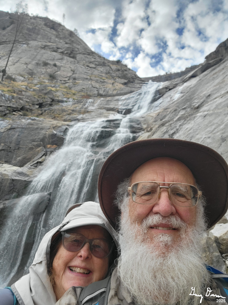
Stevenson Falls

Stevenson Falls

Adit by Stevenson Falls

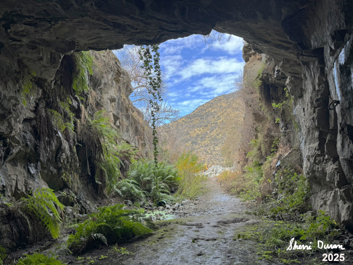
Looking out from the Adit by powerplant

Adit by powerplant

Adit by powerplant


Wednesday, April 14, 2021

April; 14, 2021 - Million Dollar Mile/Stevenson Falls


Title: April; 14, 2021 - Million Dollar Mile/Stevenson Falls
Hike Info : DescriptionExtra Photo's : Animals : Flowers and Plants


Trail head: Italian Bar Road


Hike Info:
Type: Hiking
Trail: Million Dollar Mile Road
Destination: Stevenson Falls
Distance:  7.38 miles
Start Time: 11:06
End Time:    3:46
Travel Time:  4:40 (1.58 mph)
Moving Time:  3:45  (1.97 mph)
Elevation Rise: 1,969 ' 1
Descent: 2,043‘
Maximum Elevation: 2,347'

GPS Tracks

  1The elevation is wildly different from previous measurements. On previous hikes, the elevation gain has been 900-1,200’. Both GPS’ showed dramatically different elevations. I do not think our track was too different than previous ones. The elevations may have been skewed by going into an adit.

Description:

Betty and Rose cannot join us. But Carol, a friend of ours and who has not hiked with this small group, can go with us today. But Sherri is not so sure she can go-not because of Carol, but because of our schedule. We thought about going to Williams Peak and then possibly back to Briceburg, but if we alter our location, then Sherri should be able to get a good night sleep and still enjoy a hike with our friend.

Jose Creek
Instead of leaving at 8am for a 2+ hour trip, we decided to leave our house at 9 and go past Carol’s place before going on an hour plus trip. Where? To Million Dollar Mile Road with a destination of Stevenson Falls. After traveling around back country roads, we get to the parking area a little before 11. When we get there, we realize we are not alone-five other cars are there.


Field of Lupine


The Million Dollar Mile Road is a Southern California Edison (SCE) paved road, part of the Big Creek project. As a private road, it is gated to most motorized vehicle travel, but open to walkers and bikers. So it is a wonderful place to walk. We go around the gate and start our walk.


Gary and Carol exploring an adit

You can read my other entries on the hike for the general trail description. But what is interesting is that Carol starts to apologize for slowing us down. It is not that she is walking slow, rather there is so much interesting flora along the way. And to my surprise, there is a lot to examine. I am expecting more dryness now.

Flowers are blossoming more than I anticipated. I thought this late, we would see more dryness: more dried flowers and grass. But we found so many that we stopped every few feet to examine a different type of flower So unexpected. So delightful. We do tell Carol not to worry. We are out here for enjoyment, not the miles.

Burn area from the 2020 Creek Fire

I should also say that I also enjoy showing off my knowledge of an area-it really helps that I have been along here many times. In this case, I get to enlighten Carol about some of the history of the Big Creek project. And then particularly what an adit is. It is helpful that we can walk right into one.


Our next major stop is Stevenson Falls. Everytime I have seen these falls, they are impressive. Sometimes,they can be overpowering. But today, they show that being restrained can leave a good impression. The volume of the falls are governed by the amount of release SCE lets out of Shaver Lake. Today it looks a bit lean. But it allows the green moss on the side of the falls to accent the whitd water falling from above.


Finding a WiFi Signal
Who Died?


We enjoy our lunch across the bridge over Stevenson. After getting rested up and dutifully admiring the Falls, it is time to go back. Somehow our return trip does not feel like a trudge-sometimes my legs have just been tired and the road goes ever onward-to steal a like from Tolkein-but not in a good way. 

Shadow People
There were some markings on the road which we paused to examine a bit closer. One looks like a person with three fingers and no neck may have met their demise. But then again, it may be just somebody having fun. And then there is this mysterious symbol consisting of a series of arc? Could there be wifi at this spot? The mysteries of the road!

We pretty much “march” on back to the care, with another brief stop at Jose Creek. That is a relaxing area to view. We reached the cars at 3:45. Now for the drive back. We have a bathroom stop in Prather. Then we say our farewells to Carol as we are driving back separately.


Extra Photo's


San Joaquin River

Field of Poppies

Field of Poppies

Sherri and Carol

Adit Opening

Have Camera, Will Take Pictures of Flowers

Carol and Gary

Jose Creek

San Joaquin River

First sighting of Stevenson Falls

Stevenson Falls

Stevenson Falls

Stevenson Falls below the bridge

Stevenson Falls

Grass and Rock

San Joaquin River

Road and Poppies


Animals

Velvet Ant-related to a wasp


Flowers and Plants


Common Madea


Lupine

Redbud
 
Western Wallflower
 

Indian Paintbrush


Baby Blue Eyes


Poppies


Harvest Bogadea

Whitneya

Chinese Houses


Note: We were trying to capture this flower and identify it